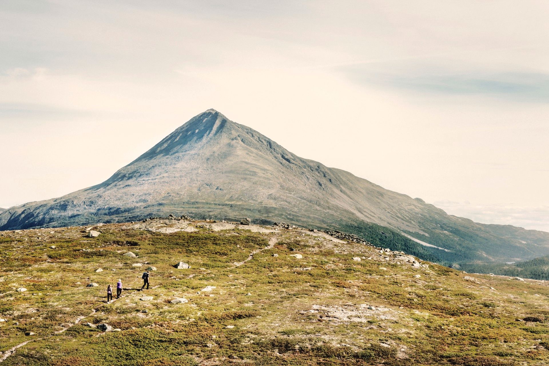
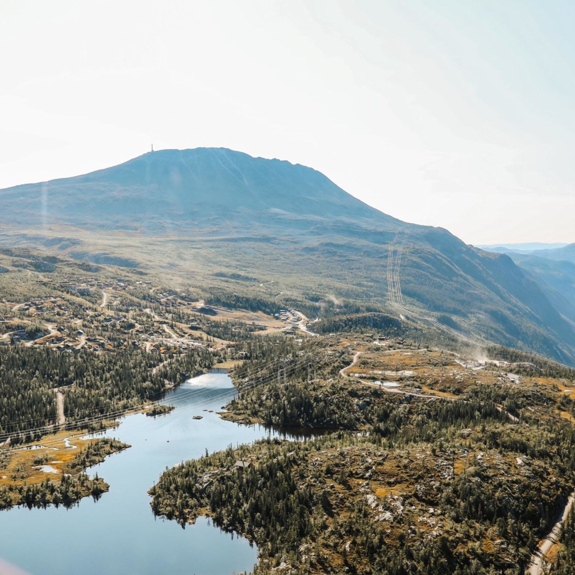
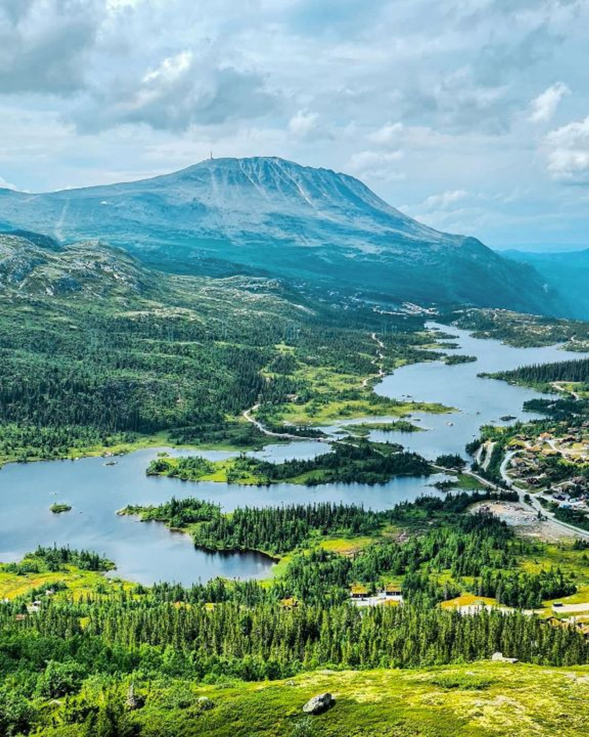
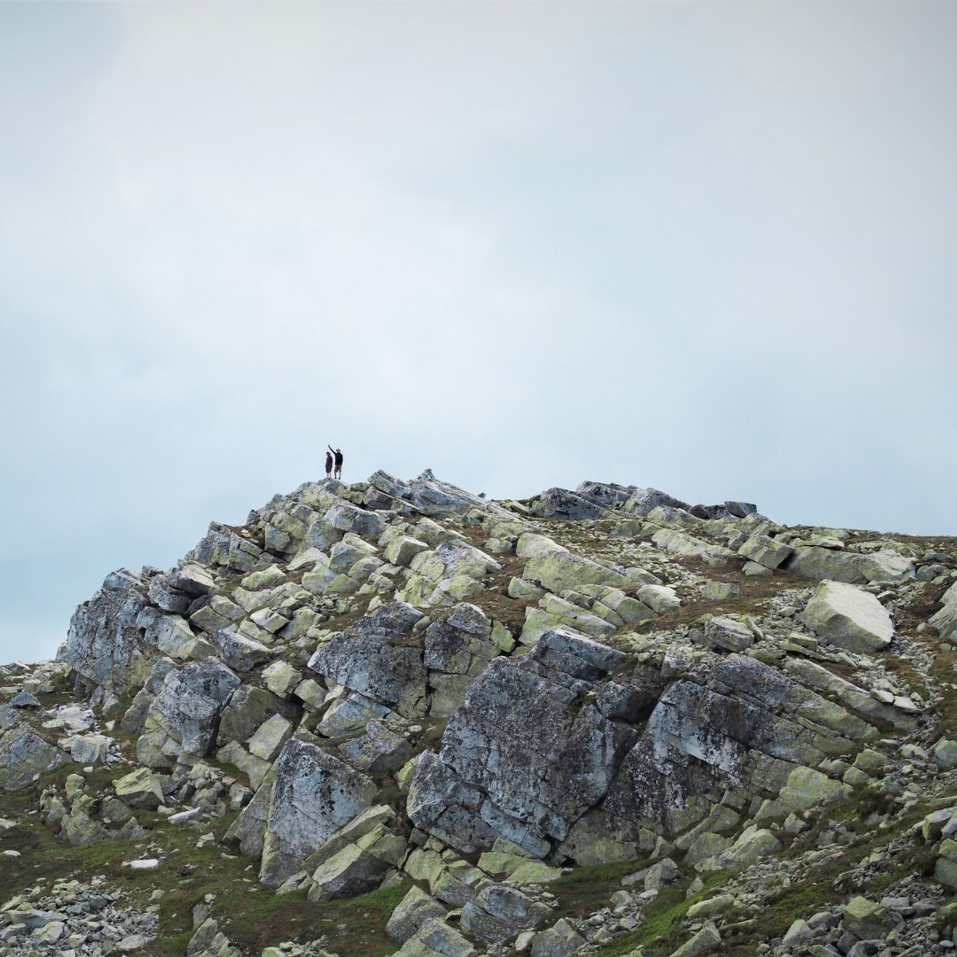
Hike to Gaustatoppen from Svineroi
This medium-difficult hike to Gaustatoppen starts at Svineroi and takes you along the Langefonn trail up the eastern slope of Gaustatoppen. The hike is 4.3 km one way and takes around 3 hours.
Hike to Gaustatoppen from Svineroi
This medium-difficult hike to Gaustatoppen starts at Svineroi and takes you along the Langefonn trail up the eastern slope of Gaustatoppen. The hike is 4.3 km one way and takes around 3 hours.
Hike to Gaustatoppen from Svineroi
This medium-difficult hike to Gaustatoppen starts at Svineroi and takes you along the Langefonn trail up the eastern slope of Gaustatoppen. The hike is 4.3 km one way and takes around 3 hours.

The route in brief
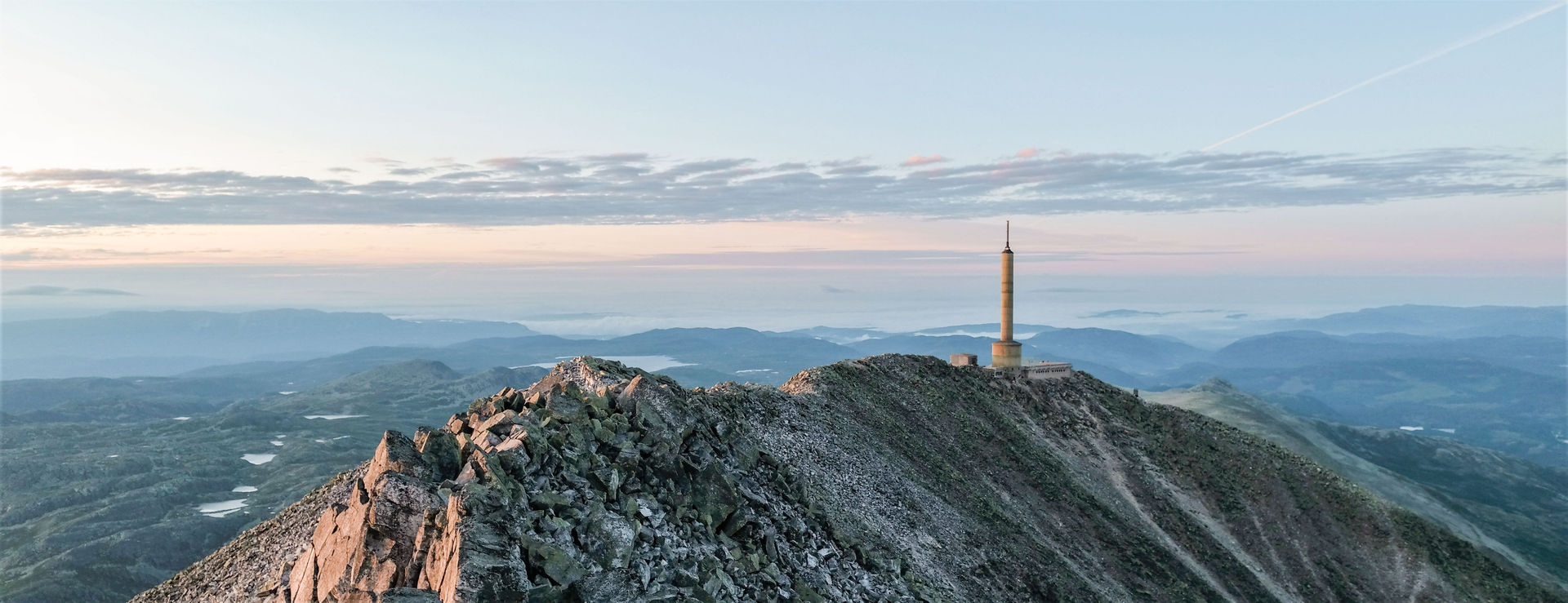
Start: Svineroi or Gaustabanen’s lower station
Length: 4,3 km one way
Time: 3 hours one way
Vertical rise: ca 845 m (approx. 1,038-1,883 metres above sea level)
Difficulty: Medium difficulty
Child-friendly: For children used to hiking
MAP

Getting there
This is a shorter but slightly steeper trail compared to hiking from Stavsro.
Park at the small car park at Svineroi. From here, follow the trail south until it turns west and then start climbing the steep ascent. After a while, you’ll reach the trail that comes from the south, from Stavsro. Follow the joint trail up to the summit. You can also start the hike at the Gaustabanen valley station, it will then be somewhat shorter.

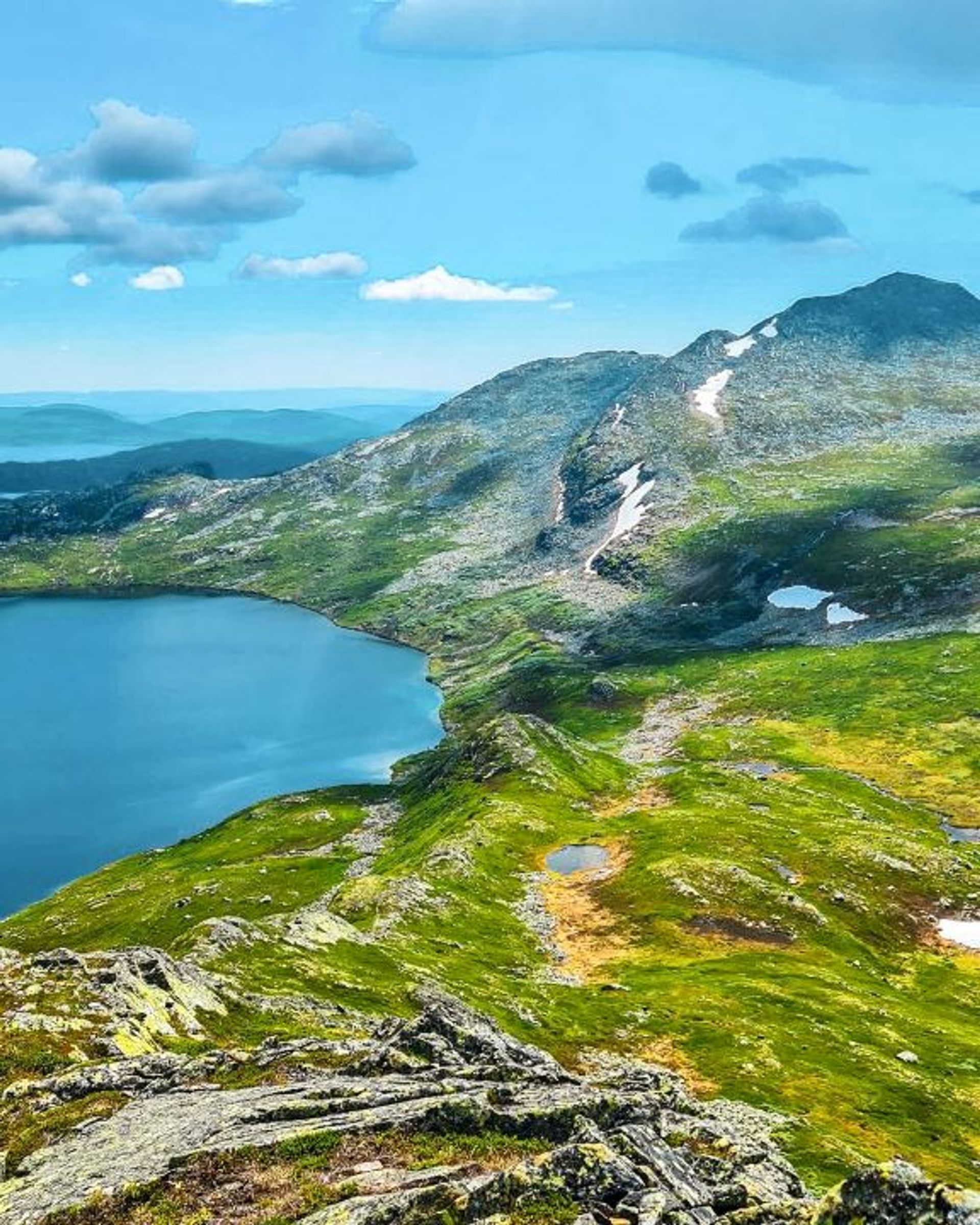
Useful information
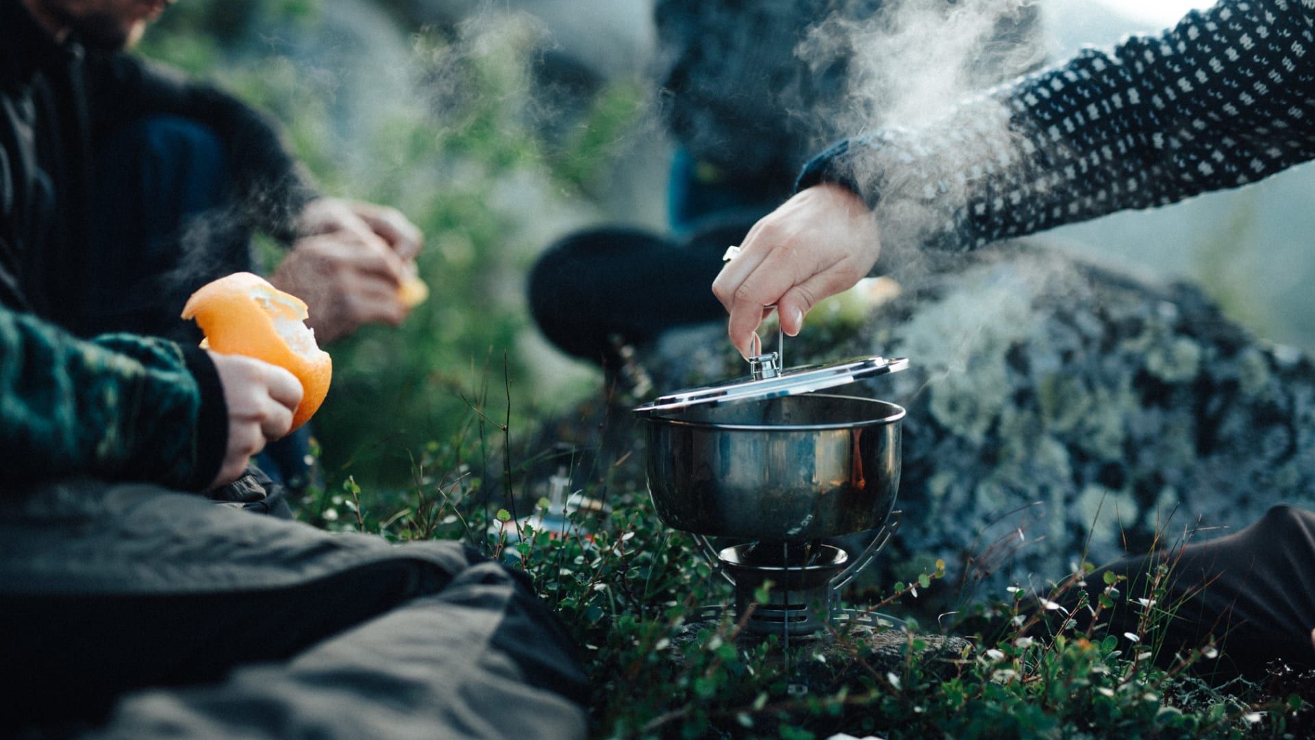
The mountain-top hike to Gaustatoppen from Svineroi is relatively short but it has a steep ascent and sections with very loose gravel. Choosesuitable footwear for the Norwegian mountains and let relatives know where you’re going. The best time to do this hike is between July and September.
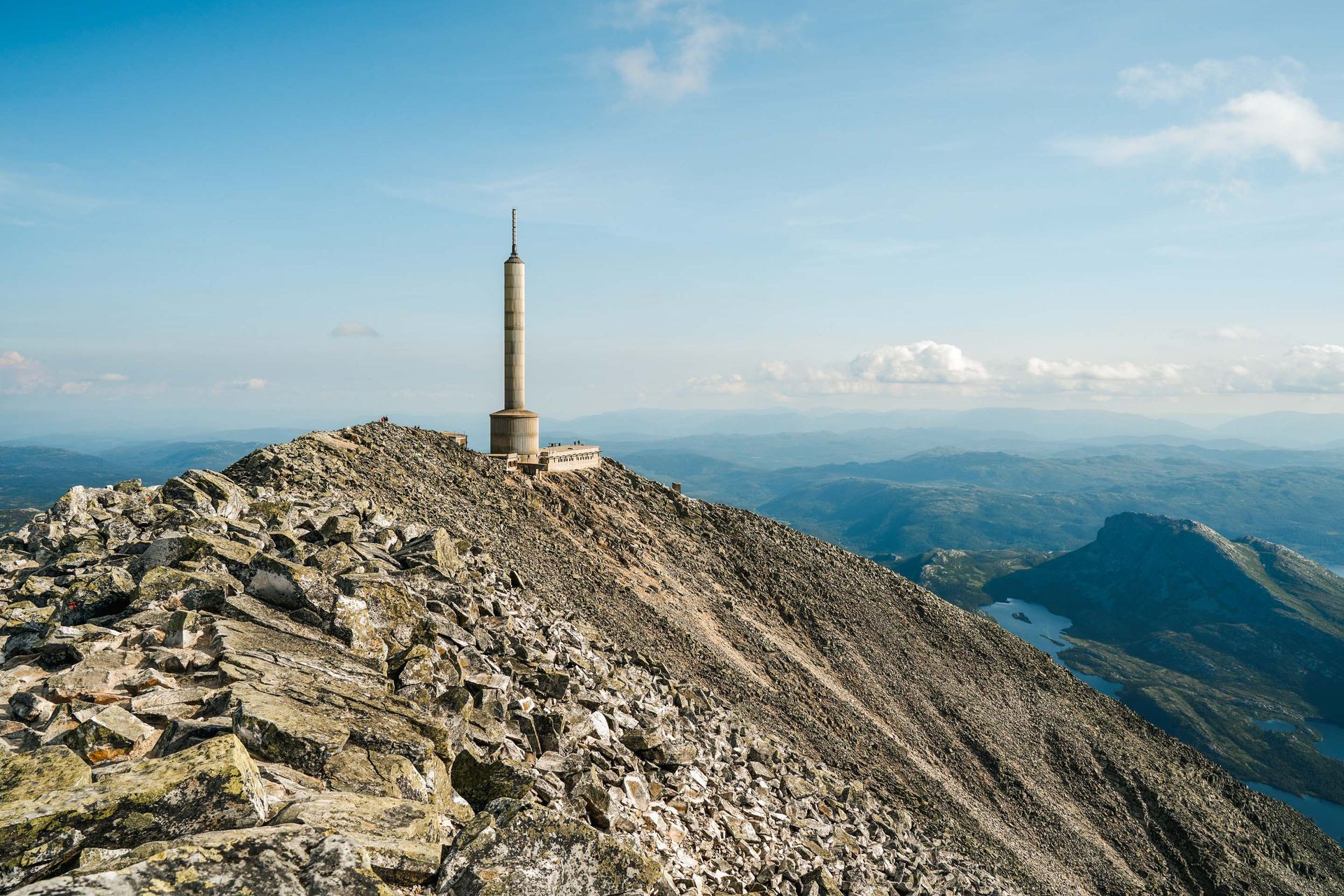
Hiking to Gaustatoppen
Begin your Gaustatoppen adventure from the Stavsro parking lot and follow the popular route along the southern side.
Experience a fantastic summit hike from Svineroi to Gaustatoppen and be rewarded with a spectacular view from Norway's highest mountain.

Take part in an exciting summit hike from Selstali to Gaustatoppen and experience the beautiful nature up close.
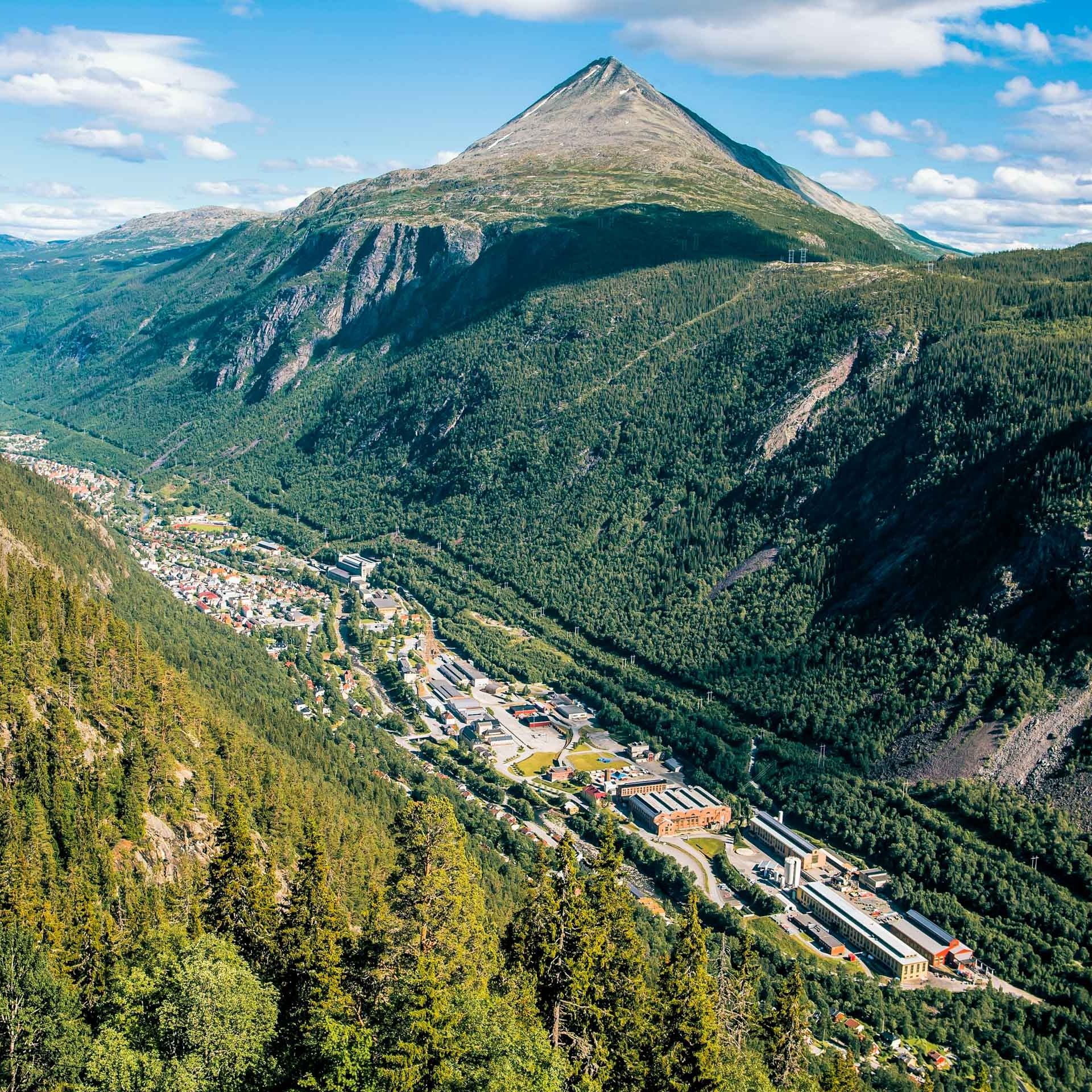
With a climb of 1600 meters, the north side of Gaustatoppen is a full-day adventure if you start from Rjukan. This is a challenging hike that requires previous experience.
Hikes on Gausta
Skipsfjell is the name of the mountain located in the middle of Gausta. It has one of the best viewpoints in the area. From the top at 1088 metres above sea level, you can enjoy magnificent views of the entire Gausta area, including Gaustatoppen, Kvitåvatn and Rjukan. Hiking up here (or around the whole mountain) is suitable for all ages and takes a few hours.
Ørnenipa is a popular mountain in Vatnedalen, located in the northeastern part of Gausta. The peak is located at 1315 metres above sea level and offers good hiking and beautiful views of Gaustatoppen the Gausta area. The popular trail from Vatnedalen takes about 4 hours (round trip).
This moderate hike to Toreskyrkja starts at Lake Heddersvatn next to Stavsro. The hike is 3,6 km and approximately 1–1,5 hours long (one way).
This challenging hike takes you from Vatnedalen to Toreskyrkja at 1,371 metres above sea level. At the summit you can enjoy spectacular views of Gaustatoppen, Tuddal, and the mountains in Telemark.
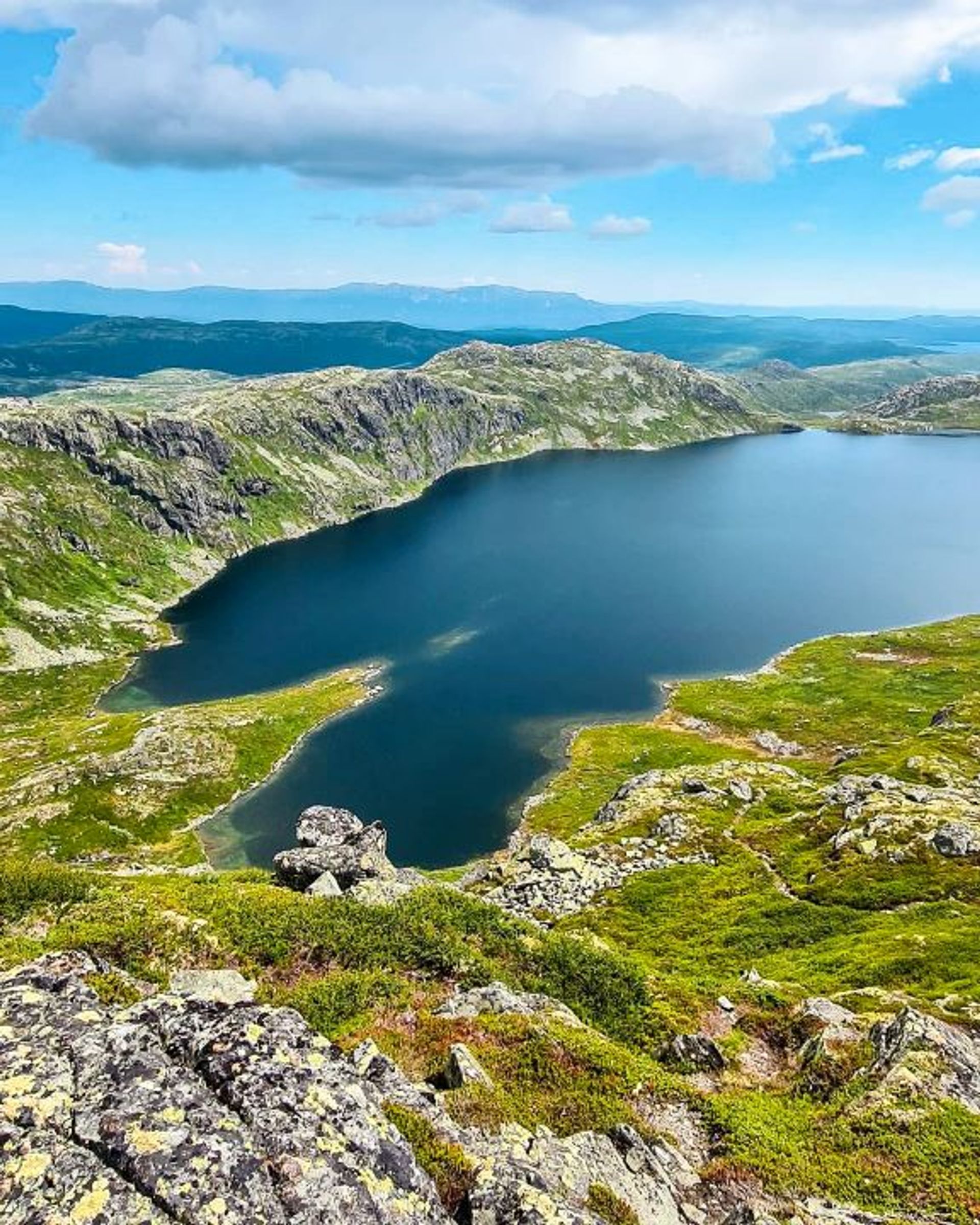
On the mountain crest south of Gaustatoppen you'll find Lille Gaustakne. The hike takes around 2 hours return, and from the summit at 1.443 metres you can enjoy magnificent views.

Remember
Dress appropriately and follow the Norwegian mountain safety code, which is a set of rules and advice that you should always have with you when you go out in the mountains. For example, make sure that you always plan your hike carefully and be prepared for bad weather and the cold, even on short hikes.

Download the Gausta app
Would you like to download the map to your phone? Download the Gausta app from App Store or Google Play! The app also has plenty of other useful information for your visit to Gausta.